Guthook Guides – Hiking Trail GPS Maps iPhone App Review
Guthook Guides – Hiking Trail for iPhone is a smartphone app that provides a GPS-enabled map and trail guide. The software lets us see the route in a variety of ways, including map, elevation profile, and list. These three views all have GPS capabilities, so we can see precisely where we are on the path. This position is calculated in relation to locations both ahead and behind us by the app. Invite our friends and family to join us on our journey. Leave check-ins and message updates along the path to let our followers know we’re safe. In the new Social Feed option, we may adjust our privacy settings, authorise followers, request to follow other hikers, and manage check-ins.
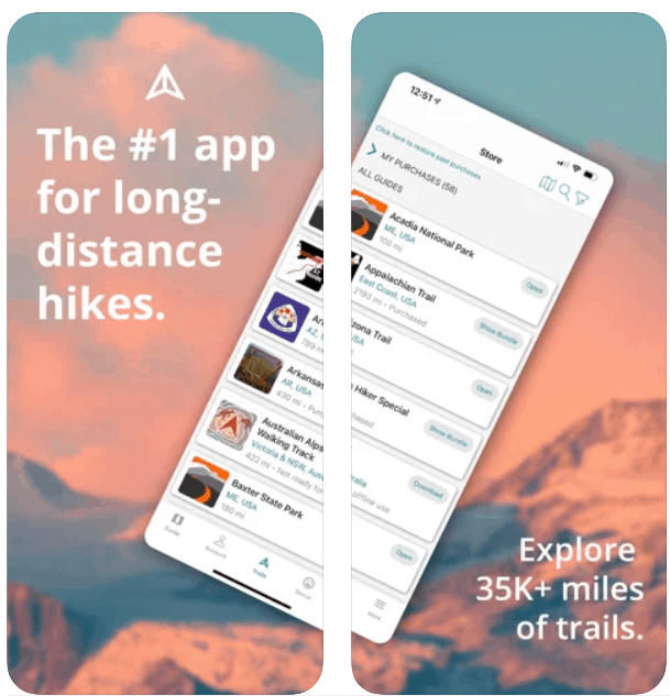
Hiking Trail Guides & GPS Maps
Even in aeroplane mode, each instruction works entirely offline. Guthook Guides for iPhone uses the inbuilt GPS of our mobile smartphone to display our current location and lead us along the route no matter where we are. Whether we’re going on a day walk, a section hike, or a thru hike, there’s something for everyone. Guthook Guides will assist us in navigating the path and avoiding getting lost. The Appalachian Trail, Pacific Crest Trail, and Continental Divide Trail are among America’s Triple Crown paths, and the majority of thru-hikers utilise our app. Guthook Guides has covered with comprehensive maps that display our precise GPS position, detailed trails, and helpful checkpoints. All of the information for our trails is gathered and updated by reputable persons and partners. Junctions, state/international borders, wilderness boundaries, road crossings, trail changes, water sources (streams, creeks, rivers, lakes, springs, big tyres filled with rainwater, etc. ), campgrounds, trailheads, passes, summits, cattleguards, cairns, trail markers, parking areas, towns, post offices, hotels, restaurants, outfitters, libraries, grocery stores, information centres, and so on are all listed in the app.
Waypoints & Town Guides in Detail
Guthook Guides Hiking Trails & GPS Maps for iPhone also have a social component to them. The opportunity to make comments to each waypoint is available to users. Hikers should utilise this function to report on the status of water supplies, warn about path dangers, and bring up any unanticipated difficulties. Water supplies, shelters, campsites, road crossings, trailheads, crossroads, views, summits, and parking are just a few examples of waypoints. Accommodation, restaurants, resupply, laundry, post offices, stores, historical attractions, and more are all included in town guides. Overall the app has better user interface and is a great trail guide.
Category: Free iPhone Apps


